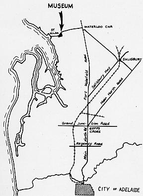
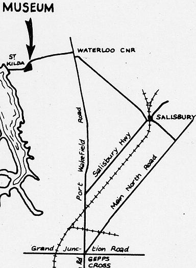
How to get to the Tramway Museum, St Kilda
The Museum is located on St Kilda Road, appproximately 21˝km (26˝km by road) north of Adelaide.
St Kilda Road is left off Port Wakefield Road (A1) and is:
1km north of the Waterloo Corner Road intersection (from Salisbury / Elizabeth)
4˝km north of the Bolivar Road (A18) intersection (from Modbury via the A18 - McIntyre Road and Kings Road)
9˝km north of the South Road / Salisbury Highway (A13) intersection (from the southern and western suburbs)
13˝km north of the five way Gepps Cross intersection (Main North Road (A1/A20), Grand Junction Road (A16), Port Wakefield Road (A1)).
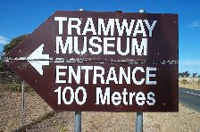
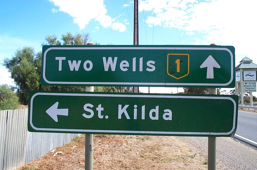
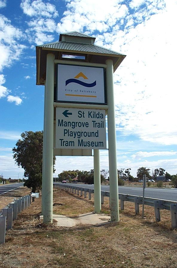
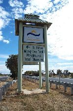
The signs shown below for Port Wakefield Road are just before the St Kilda Road turnoff.
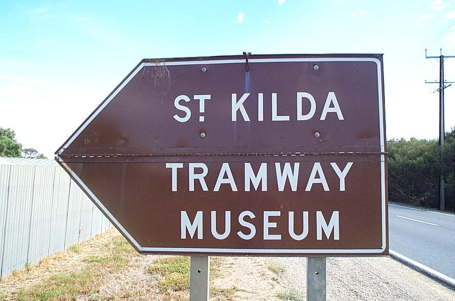
The brown Museum sign should only be open on operational days.
St Kilda Road is straight for 3km and then veers left, and it is along the straight stretch after this turn
that the fourth of the signs below can be found, indicating the Museum entrance coming up on your left.
Again this sign should only be open on operational days (from about 12:45pm).
If you continue along St Kilda Road you will pass the salt evaporation pans (large lakes both sides of the road)
with the Museum tramway on your left. From here a number of signs will direct you to the other St Kilda attractions.
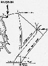
Location Maps
Click on a thumbnail for a larger version.

Signs you will see on the way:
Port Wakefield Road
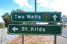
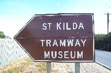
St Kilda Road